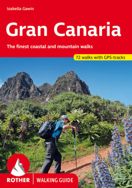
Gran Canaria
The finest valley and mountain walks
Tags
Gran Canary not only enjoys a fabulous reputation as a paradise of sunshine and beaches; it can also be described as one of the most versatile hiking islands of the Canary Archipelago. Connoisseurs praise it as a miniature continent because of its diversity of landscapes: shimmering dunes in contrast with luscious subtropical valleys, deep ravines with palm tree oases and glittering reservoirs, next to which are extensive pine tree forests and green slopes with grazing sheep and goats. To the North West cliffs drop down 800 m deep into the ocean, while in the centre of the island serrated, almost 2000 metre high ridges and bizarre rock monoliths emerge, which the Spanish writer Miguel de Unamuno once interpreted as »fossilised storms of fire and lava«.
This Rother walking guide includes excursions to beaches and spectacular cave villages, walks through pine forests and atmospheric ridge paths. Due to the increased significance of hiking tourism, parts of what at times are more than 500 year old rocks have been carefully restored over the last years. These Caminos Reales (royal paths) stretch across the entire island and used to link remote mountain villages with coastal territory. Many proposed tours follow these mainly stone-paved hiking paths and are therefore also ideal for less experienced hikers. Experienced mountain hikers who are not afraid of »dramatic walks« will also find a rich offer of tours.
The first comprehensive hiking guide on Gran Canary leaves nothing to desire! Coloured illustrations and excellent hiking maps at an ideal scale of 1:50,000/1:75,000 round off the picture and awaken the curiosity for ever new excursions into the charmingly bizarre world of the mountains.
Kategorien: Spanien, Rother Wanderführer
Anzahl der Touren:
72 walks
Auflage:
5., aktualisierte Auflage 2024
Seiten:
240
Anzahl der Bilder:
240
Ausstattung:
5th Edition 2024, 240 pages, 136 photos, 72 maps in 1:50,000 / 1:75,000, 1 overview map in 1:500,000, Format 11.5 x 16.5 cm, paperback with a polytex-laminated cover,
Einband:
Kartoniert mit Polytex-Laminierung
Reihe:
Format:
11,5 x 16,5 cm


